The Role of Regional Conservation Authorities in Protecting Ontario’s Watersheds
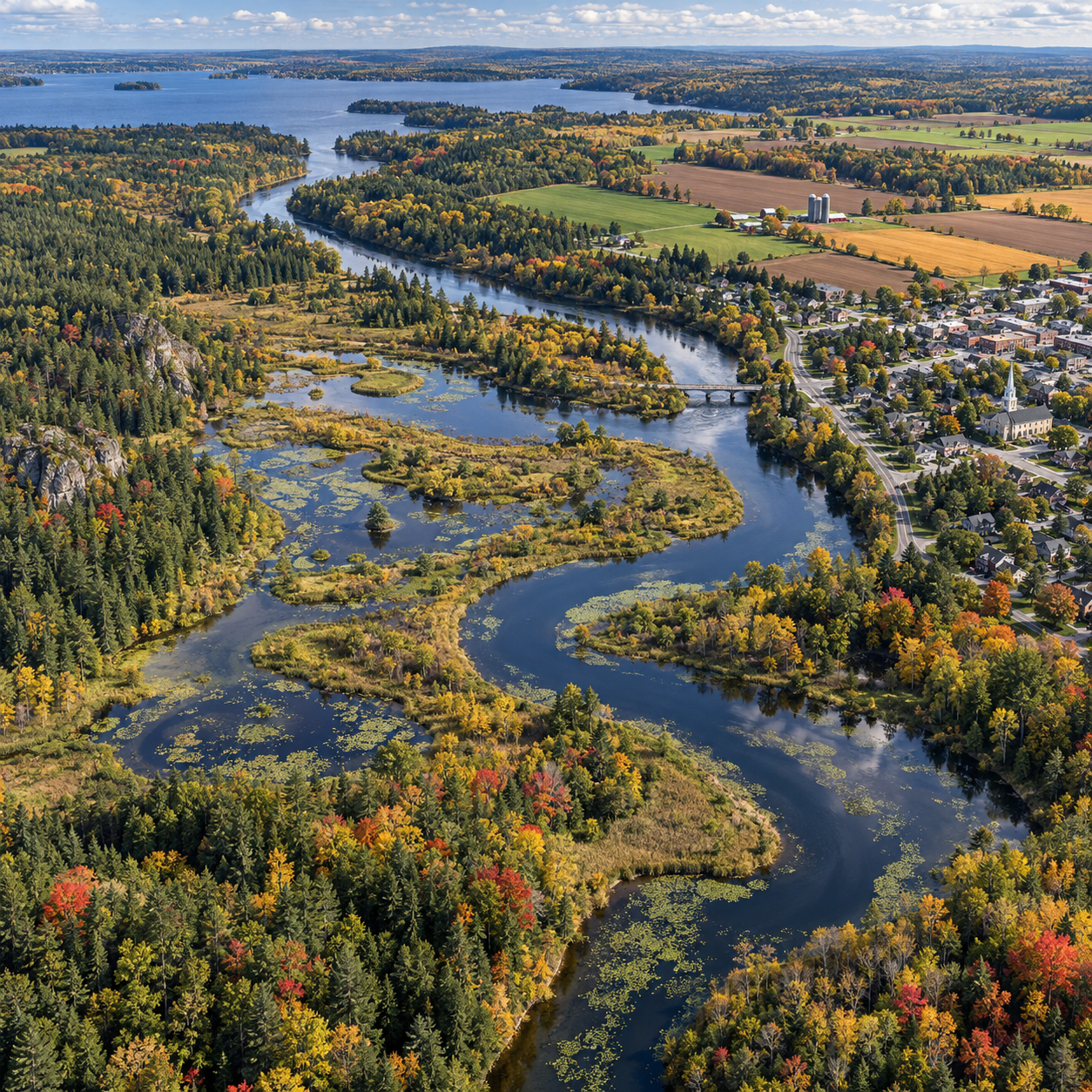
Rivers, wetlands, forests, farms, and neighbourhoods all shape the health of a watershed. In Ontario, regional conservation authorities work across these connected landscapes, helping communities understand water-related risks and protect natural features that support people and wildlife.
Their work is part of a wider effort. Municipalities, provincial agencies, Indigenous communities, landowners, conservation organizations, and residents also have roles in protecting water and land. A watershed perspective helps these partners see how decisions in one place can affect people and ecosystems downstream.
What is a watershed—and why protect it?
A watershed is an area of land where rain and melted snow drain toward a shared outlet, such as a creek, river, lake, or bay. Protecting it means considering how water, land, and living things connect across that whole area.
Water does not follow municipal boundaries. It travels downhill over the land and through soil, ditches, streams, wetlands, and groundwater. A change upstream, such as removing vegetation or paving a large area, can alter how quickly water reaches a downstream creek. That may affect erosion, water quality, and flood conditions.
Healthy watersheds slow and store water, filter some pollutants, and provide habitat. Forests and wetlands can absorb rainfall and release it gradually, while connected streams support fish and other wildlife. These natural systems have limits, however. Their ability to reduce risks depends on local conditions, the scale of development, soil, weather, and how the surrounding landscape is managed.
Watershed planning brings these relationships into view. Instead of looking at a single stream or property in isolation, planners can consider upstream and downstream effects, natural features, community needs, and long-term changes such as more intense rainfall.
What conservation authorities do
Ontario’s conservation authorities are regional organizations that work with municipalities and other partners on watershed health and natural hazard management. Their work varies by authority, local needs, legislation, and agreements with partner organizations.
Many authorities monitor watershed conditions, share information about flood risks, support watershed planning, and help protect or restore natural areas. They may maintain conservation lands, offer public education, provide technical expertise, or work with landowners on projects such as planting native vegetation and restoring stream banks. Some also operate trails or outdoor education programs.
These responsibilities sit within a broader system. Municipalities make decisions about local land use and infrastructure, while provincial and federal agencies have their own responsibilities for water, wildlife, and environmental regulation. Conservation authorities can contribute regional knowledge and technical input, but they are not the only organizations responsible for watershed protection.
For example, watershed monitoring may help identify where stream temperatures or water levels are changing. That information can guide a municipal stormwater project or a restoration effort with a community group. Monitoring is useful, but it does not by itself prevent flooding or pollution; results need to inform decisions and on-the-ground action.
Protecting water quality and natural areas
Conservation authorities support water quality and natural areas by gathering watershed information, protecting or restoring important features, and working with partners on pollution prevention. Their efforts can include source water protection, wetland conservation, and habitat restoration.
Source water protection focuses on keeping drinking-water sources clean before water reaches a treatment system or private well. In Ontario, source protection plans identify local risks and set out measures under the province’s Clean Water Act framework. Conservation authorities often provide technical support or coordinate work in this area, while municipalities, provincial agencies, water operators, and landowners may carry out or oversee particular measures.
Wetlands matter because they store water, provide habitat, and can trap some sediments and pollutants. Protecting them helps preserve ecological functions that are difficult to replace once a wetland is drained or built over. Streams, woodlands, and shorelines also need connected habitat; restoring only a short stretch of river may have limited value if surrounding areas remain degraded.
Practical conservation projects can include planting native trees along waterways, stabilizing eroding banks with suitable natural methods, reducing nutrient runoff, and restoring wetland vegetation. The right approach depends on the site. A planting plan that works on one shoreline may fail elsewhere if it ignores soil, water levels, invasive species, or nearby land uses.
For authoritative information, Ontario’s source protection program explains how local plans help protect drinking-water sources.
Managing flood risks and building resilience
Conservation authorities help communities understand and prepare for flood risks through watershed information, flood forecasting and warning in many areas, and technical support for planning. Their work can improve awareness and readiness, but no organization can eliminate flood risk.
Flooding can result from intense rainfall, rapid snowmelt, high river levels, or a combination of conditions. Floodplain maps, stream gauges, rainfall records, and watershed models help identify areas that may be affected. Where authorities provide flood messages or warnings, residents should follow current instructions from local emergency services and municipal officials.
Conservation authorities may also provide information to support decisions about development near rivers, streams, shorelines, and other natural hazards. Municipalities are responsible for many local planning and emergency-management decisions. The roles and processes can differ by location, so residents and property owners should check with both their municipality and local conservation authority before making assumptions about permits or requirements.
Natural features can contribute to resilience by holding water and reducing runoff, but they are not a substitute for safe land-use planning, stormwater infrastructure, emergency plans, or household preparedness. A practical approach combines these measures: protect floodplains where possible, maintain drainage systems, understand local warning channels, and know what to do if water levels rise.
Working across watershed boundaries
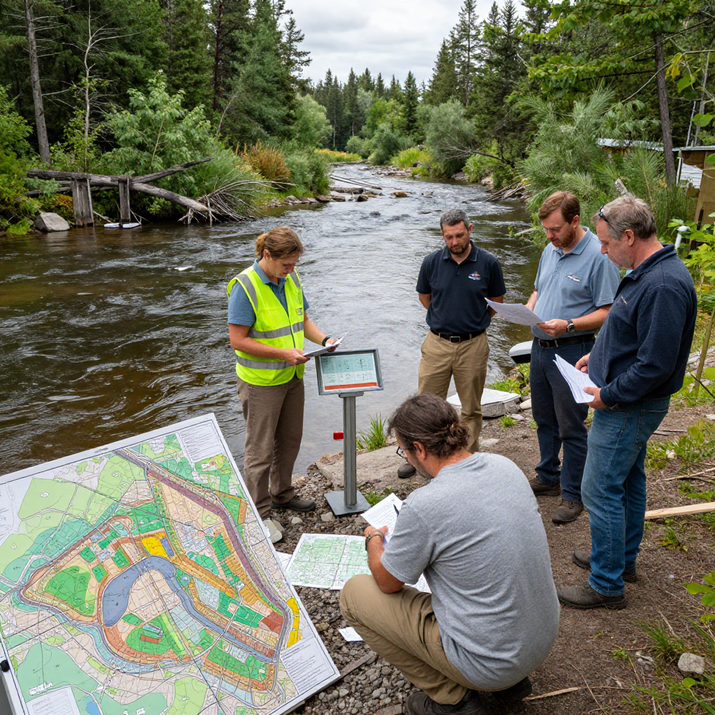
Watershed protection works best when conservation authorities, municipalities, communities, landowners, and other partners share information and coordinate action. A watershed crosses political borders, so decisions made by one community may affect water, habitat, or flood conditions elsewhere.
Municipal partnerships are central to this work. A conservation authority may contribute watershed data or technical advice, while a municipality plans and maintains local roads, stormwater systems, parks, or emergency services. Provincial agencies and utilities may manage other parts of the system. Clear communication helps partners match responsibilities and avoid gaps.
Residents, farmers, businesses, schools, and community organizations also contribute. A landowner might restore a streamside buffer; a local group might remove invasive plants; and a municipality might improve stormwater management in a built-up area. Each action is more effective when it fits local watershed goals and is maintained over time.
Good collaboration also means respecting local knowledge and different community priorities. Projects should be shaped with the people who live and work in the watershed, including Indigenous communities, and should be clear about who is responsible for decisions, funding, maintenance, and monitoring.
How residents can help protect local watersheds
Residents can protect local watersheds by reducing pollution, conserving water, caring for natural areas, and staying informed about nearby projects and risks. Small actions matter most when they address the conditions of the specific neighbourhood or property.
- Keep pollutants out of storm drains. Dispose of paint, oil, chemicals, and medication through appropriate local programs rather than washing them into streets or drains.
- Use less fertilizer and salt. Follow product directions, avoid applying fertilizer before rain, and use only the amount of road salt needed for safe footing.
- Support native plants. Plant suitable native species in gardens and near shorelines to provide habitat and help stabilize soil. Check local guidance before planting beside a watercourse.
- Reduce runoff at home. Direct downspouts onto permeable areas where appropriate, keep leaves and grass clippings out of drains, and consider rain gardens if the site is suitable.
- Respect wetlands and waterways. Keep a buffer from sensitive areas, avoid dumping yard waste, and report suspected pollution or habitat damage to the appropriate local authority.
- Learn local risks and plans. Find your watershed, sign up for available flood alerts, and check municipal and conservation authority information before starting work near water.
To find the conservation authority serving your area, search by your municipality or watershed and confirm details through the authority’s official website or your municipal government. Boundaries and services vary, so local confirmation is useful.
Watershed protection is shared, ongoing work. Conservation authorities bring a regional view and specialized knowledge; residents and partner organizations turn that understanding into everyday decisions that help protect Ontario’s water, natural areas, and communities.